Locus is the mapping app of choice for me for any use-case on Android and for most use-cases on desktop as well.
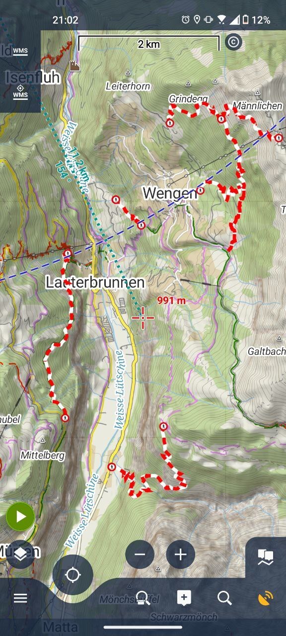
Although Locus does have Swisstopo layers, it does not have direct access to some of the extra WMS layers that are provided by the Swiss authorities.
This specifically hit me back when I planned my hike (using Locus) through a Sperrungen Wanderwege (closed trails), because I did not see those trails as (temporarily) closed on Locus.
The solution for this is to add a WMS layer to Locus using following URL:
https://wms.geo.admin.ch? SERVICE=WMS&VERSION=1.3.0&REQUEST=GetMap&layers=ch.astra.wanderland-sperrungen_umleitungen
The argument layers=ch.astra.wanderland-sperrungen_umleitungen is there so that we're importing only the trail closures layer. Otherwise there will be hundreds of them. List of all available WMS layers for geo.admin.ch is a useful reference.